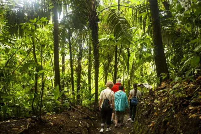
One day in 2018, Juan Carlos González was checking social networks when he saw a publication about a walk that caught his attention, since the photo of the ad showed the front of his farm. He immediately contacted those responsible for the information.
A week after that first contact, he received a visit from representatives of the Mar a Mar Association, promoter of the Camino de Costa Rica, to whom, after hearing about the project, he expressed his interest in getting involved.
“I wasn’t ready yet, it wasn’t even open. But they loved it and from that moment we began a beautiful relationship with the Association”, says Juan Carlos. Two years later, in January 2020, he opened Verdesana Forest Lodge, an ecological mountain lodge and retreat center located in Palo Verde de El Guarco, 20 minutes from Cartago and one hour from San José. They wanted to take advantage of a property for hiking and to enjoy the landscape and nature, so they created El Iral Bosque Nuboso in Coronado

Boosting entrepreneurship
14 linear km away but six years earlier, in 2014, Mariana Céspedes was sweeping the sidewalk in front of the soda that bears her name when Conchita Espino, executive director of the Mar a Mar Association, passed by. Curiosity led Mariana to listen carefully to Espino, who told her about the same project and asked her if she wanted to be part of it, something that Mariana accepted in the hope of boosting her entrepreneurship.
“I was already selling food, but not in the quantity as it is with Camino de Costa Rica,” says Mariana, who has been feeding travelers and residents of the town of Purisil, the gateway to the Tapantí National Park, in Cartago, for more than eight years.
Creating a route connecting the Caribbean Sea with the Pacific Ocean
In these two stories there is a common element: the Camino de Costa Rica, a project that began to be designed in 2012 with the intention of creating a route that would connect the Caribbean Sea with the Pacific Ocean, from Parismina to Quepos, passing through the Talamanca mountain range.
To define its route, the Mar a Mar Association turned to “baqueanos” (local guides), hikers and the communities themselves. The main premise was to propose a route that passed through the most visually attractive parts but with the greatest possible accessibility and minimizing the distance between the coasts.

The project was officially launched six years later and the result was a 280 km route, divided into 16 stages, that uses public roads and crosses two protected areas, an indigenous territory, four provinces and more than 20 towns that receive little benefit from conventional tourism.

For those who have experienced shifts in consciousness and know that more peace, joy, and love awaits in a better living environment. A bold shared vision. A living community and hub for innovation. A sustainable ecosystem for living and working. A model for the new future.
